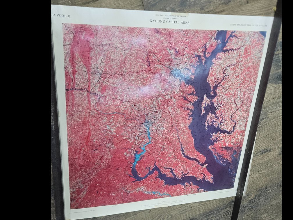
#190 • 1973 Satellite Map of The Nation's Capitol and Surrounding Area
Part of Multi-Estate Midwinter’s Dream Auction: Silver, Firearms, Art & Antiques (timed auction by Grindstaff's Auction Marketing Group LLC)
High bid $2.00
Status: SOLD
1973 Satellite Map of the Eastern USA primarily the Nations Capitol and portions of Maryland, overall measures 31.75" x 33", area within in border measures 28" x 29.25", tight tear to left edge but this could easily be covered in framing, very detailed, Gleason estate, (our apologies it was next to impossible to take a photo without glare in the warehouse setting)